ARTICLE: Revit and Point Clouds
 OVERVIEW
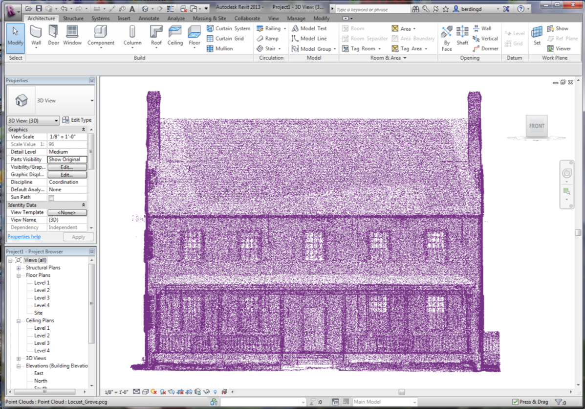
Autodesk has a powerful point cloud engine that utilizes their RECAP program and visualization engine. RECAP is a free program that creates the RCS/RCP files for linking into REVIT (or similarly AutoCAD, Navisworks, etc.)
Revit 2016 has powerful point cloud functionality, allowing our clients to access and use the cloud to reach their desired objectives. With solid surveying background, we are able to capture a 3D point cloud of a scene, be it a building façade, entire interior space, boiler room, etc. After registering the data we can deliver a point cloud for direct use in Revit.
Autodesk (and hence Revit) is solidly committed to integrating point clouds into the AEC community and the workflow of the industry. Revit 2016 is a further step in that direction, some uses are illustrated.
RENOVATIONS AND ADDITIONS
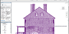
Working with point clouds as a background in Revit, users are able to create as-built models where drawings are missing or lacking, and where the drawings simply are not accurate. The value is in the time savings in the field vs. traditional as-built surveying of building spaces and in the completeness of the point cloud.
VERIFICATION OF AS-BUILTS VS. DESIGN
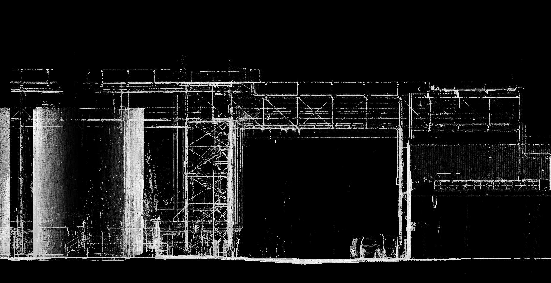
Perhaps the most immediete ROI is in new construction. Verifying that the building is built to correct dimensions is an area where scanning fits the bill nicely. It is fast, accurate and the data is dense. The point cloudscan be utilized to verify construction with design. Discrepancies can be identified, documented, and corrected. Point clouds are easily and quickly captured before walls and ceilings are buttoned up, providing the client with a record of what was built.
CLASH DETECTION
In the process of building constructions, construction administration for resolution of clash detections between trades can be a time consuming process. Point clouds can be part of the solution. In Navisworks, point clouds can be used as objects to clash with other point cloud or with modeled objects. Scanning can easily take place during construction to provide an up-to-date point cloud to use in clash detection resolution.
ALL OR NOTHING?
 Not really. In fact, laser scanning is a tool that can be implemented in all stages of the design-build process with uses for all trades and the construction manager.
It can be used on an as-needed basis and is therefore efficient and economical. It is supported natively by Revit, AutoCAD, Navisworks and the Autodesk suite of software allowing for broad use across the industry. Berding Surveying has the tools and experience to deliver an intelligent point cloud solution to our clients.